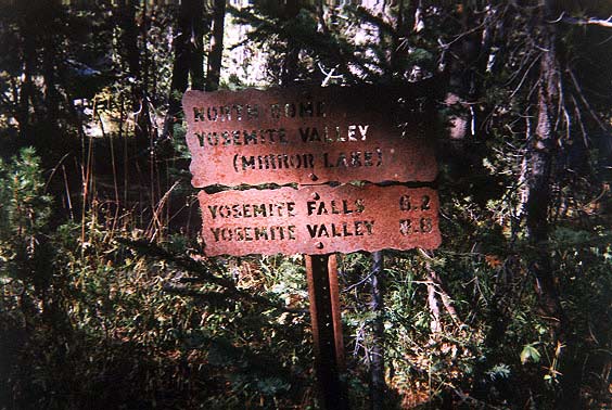
Morning of 9/20 - started down towards
the valley from the Porcupine Creek trailhead on Tioga Road (8,100 ft).
There were two ways to get down
to the valley: via Mirror lake or via Yosemite Falls.
I took the Yosemite Falls route
- 8.8 miles from this marker. This marker was 1.5 miles from trailhead
on Tioga Rd.
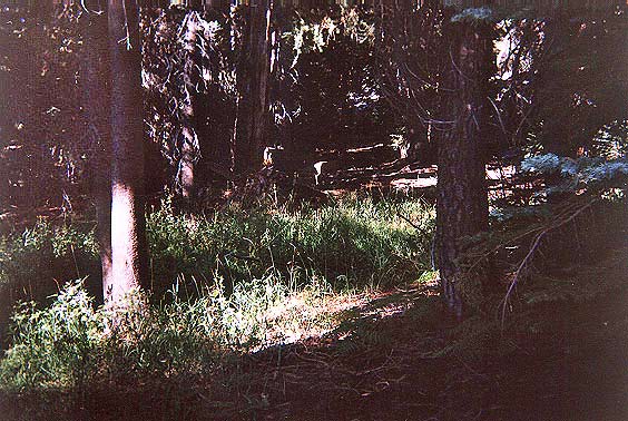
Hiking towards the valley, I saw
at least 5 mule deer, several were fawns.
There is one right at the center
of this picture (only the hind leg is in sunlight).
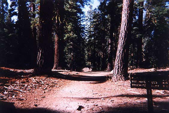
This marker shows the distance to
North Dome or to Yosemite Falls and Valley (7.8mi).
I am now 3.1 miles from the trailhead
off Tioga Rd (Porcupine Creek).
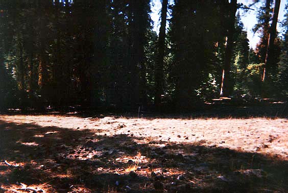
Here is another deer but you can't
really see it :( They were bouncing around like goats :)
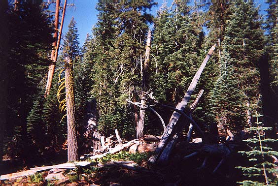
A beautiful combination of fallen
and live trees, a treescape! (Larger
picture)
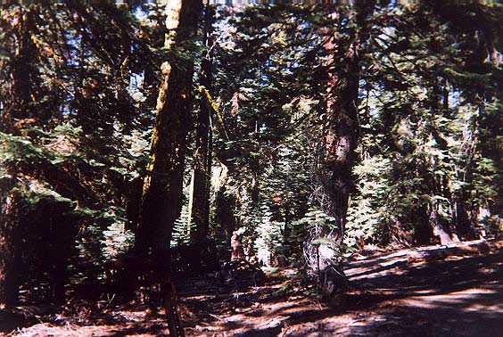
Another beautiful combination
of trees. (Larger picture)
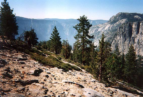
The dense forest opens up
to views of the mountains surrounding the valley below. (Larger
picture)
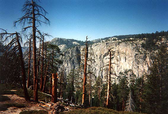
More open space scattered with young
and deceased pines. (Larger
picture)
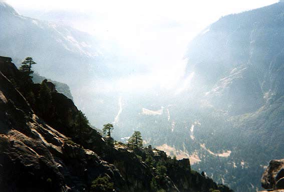
View of the valley below from about
7,000 ft (3,000 ft from the valley).
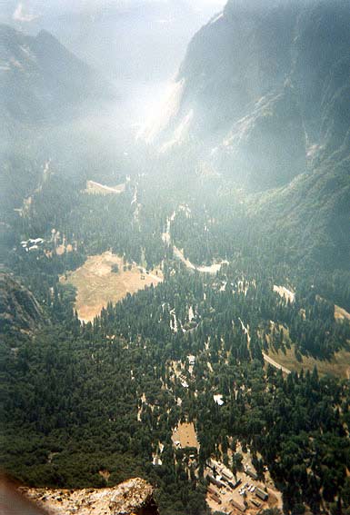
Yosemite Point - about a mile or
so above the Upper Yosemite Falls.
See the valley buildings below.
Elevation here is about 7,000 ft (valley elevation is 4,000 ft)

This bridge (at least 50' across)
is above the creek that feeds the Upper Yosemite Falls.
At this time of the year, the creek
was dry. It is now about 6 miles from the trailhead. (Larger
picture)
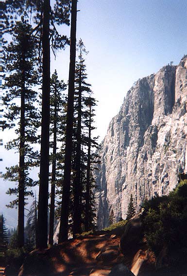
A beautiful view of trees on the
trail contrasted with the immense mountain side in the distance.
(Larger picture)
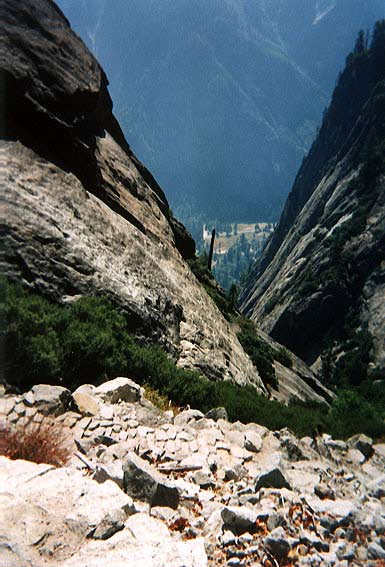
The trail (Yosemite Falls) down
is made of cut-stone from the mountains,
it is like uneven concrete steps
almost straight down!.
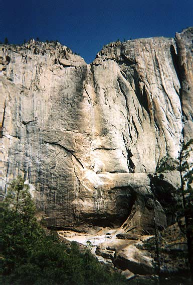
Upper Yosemite Falls is completely
dry. Elevation is now about 1,200 ft above the valley.
Distance is now about 8 miles from
the trailhead. (Larger
picture)
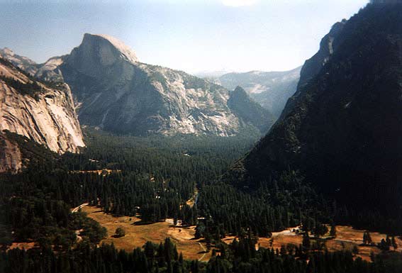
View of valley and Half Dome from
Yosemite Falls trail. (Larger
picture)
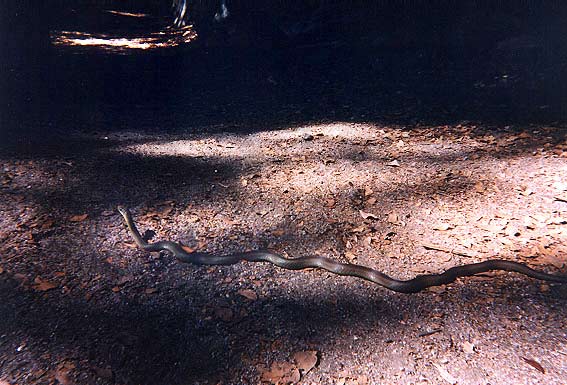
A beautiful snake ("Racer", Coluber
constrictor) about 4' long sharing the trails.
This trail is in the Yosemite Valley
(4,000 ft), en route to Mirror Lake.
It is now about 12 miles from the
Tioga Rd trailhead. (Larger
picture)
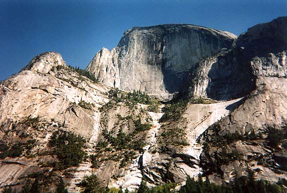
View of Half Dome while hiking towards
Snow Creek trail, up back to trailhead. (Larger
picture)
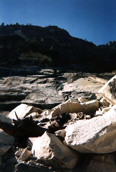
More views of mountains sandwiching
the trail.
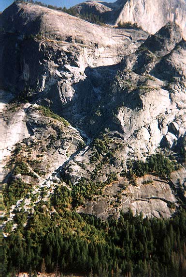
100-foot tall trees are dwarfed
by the huge granite mountain. (Larger
picture)
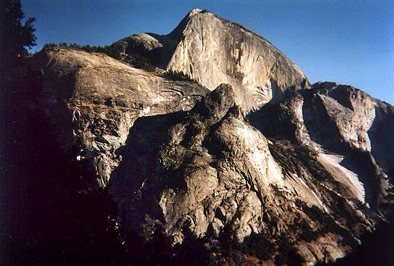
The Half Dome rises over 8,800 ft
into the air, and more than 4,000 from Yosemite Valley. (Larger
picture)