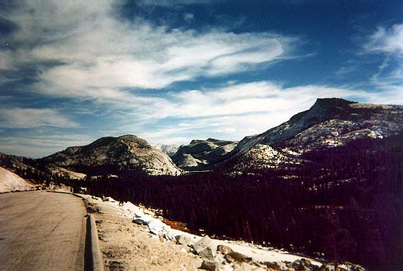
Morning of 9/21 - driving east on
Tioga Road. Tenaya lake coming up on the right.
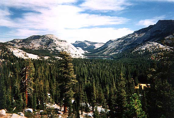
That's Tenaya Lake in the distance,
nestled between majestic mountains and forests.
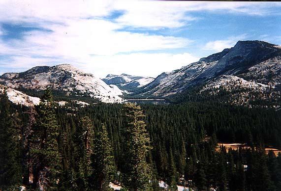
Tenaya Lake (Larger
picture)
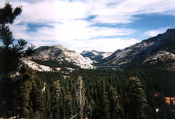
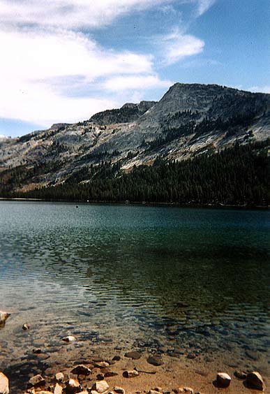
Tenaya Lake with its crystal clear
waters. (Larger picture)
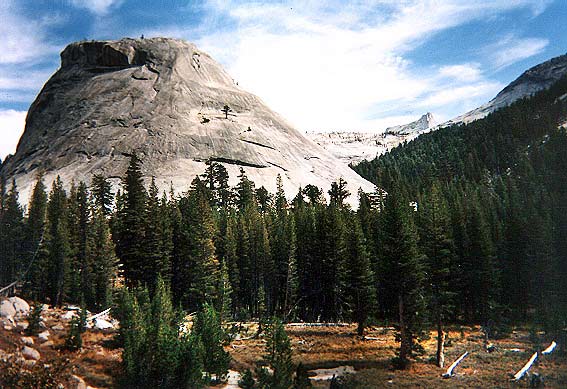
Medlicott Dome. (Larger
picture)
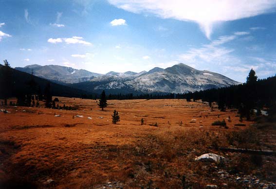
Meadow close to the Tigoa Pass entrance
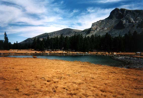
Meadow close to the Tigoa Pass entrance
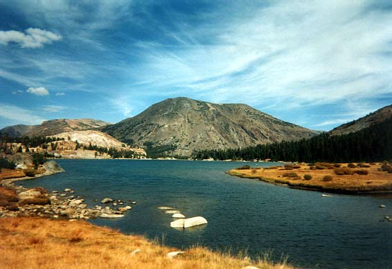
Tioga Lake
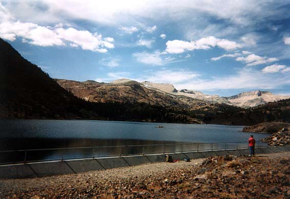
Ellery Lake
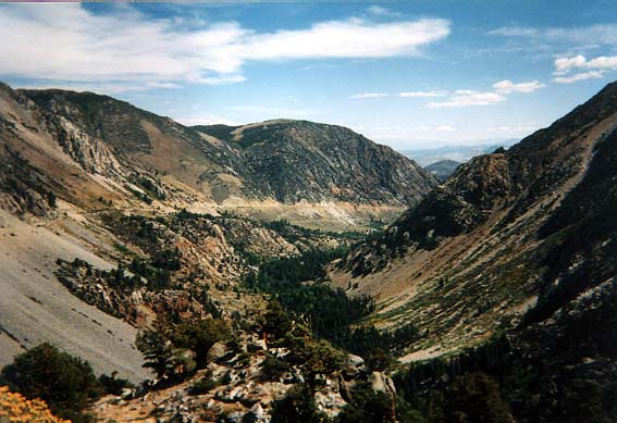
Lee Vining Canyon (Larger
picture)
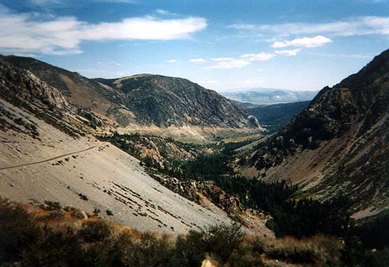
Lee Vining Canyon

Mono Lake. This is a salt-lake,
that is, it was part of the ocean when it was formed. The white stuff
is dried-up salt!
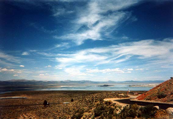
Mono Lake
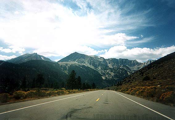
Tioga Rd (Rt120) westwards,
through side of Lee Vining Canyon
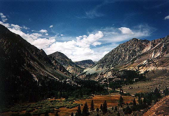
Lee Vining Canyon looking towards
the west. At the center of the picture, you see a road cut
through a gray section of the mountain
- that is where one of the previous pictures
was taken (facing east). (Larger
picture)
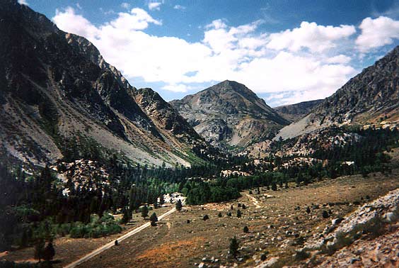
Lee Vining Canyon - you can see
a road on the bottom of the canyon, leading to parks and campgrounds. (Larger
picture)
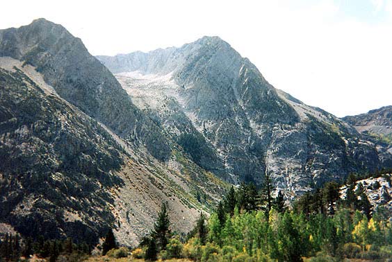
Lee Vining Canyon - one of the mountains
lining the canyon. This one looked like a erupted and decaying volcano,
with rocks and debris still pouring
down from the opening at top, which must be at least 1/3 of a mile wide.
(Larger picture)
| Index | Camping | 20-mile Hike | Tioga Rd | Tuolumne Grove | Home | Post or Read Comments |